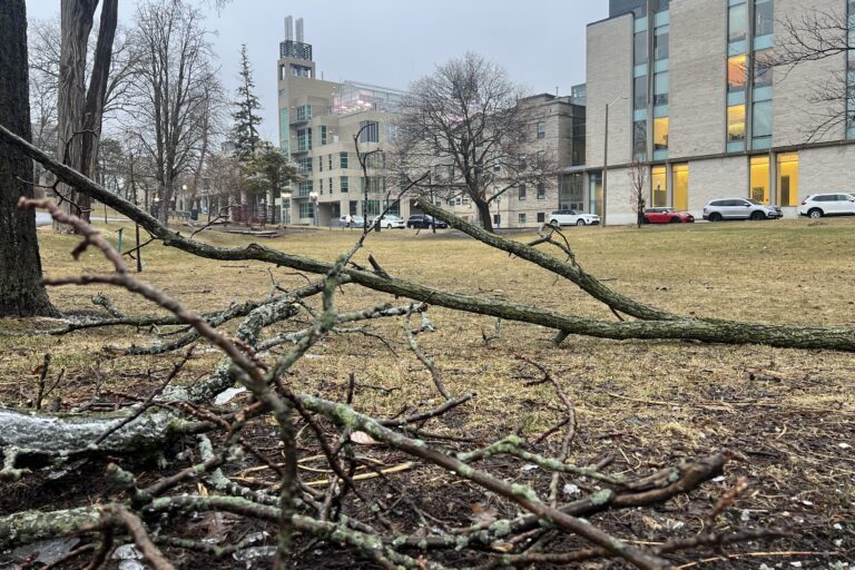
A ‘super El Niño,’ is causing this fall semester’s forecast to look different than usual.
El Niño is a natural climate event where weakening easterly trade winds and higher than average ocean temperatures allow warm surface water to spread across the tropical Pacific, disrupting weather patterns worldwide.
This year’s El Niño is already on track to be the largest ever. Breaking a sea surface temperature record months before its peak, it’s likely to push global temperatures to a new high in 2027.
“El-Niño Southern Oscillations or ENSO [are] a natural part of the climate system,” said Christian Seiler, a climate modelling researcher at Queen’s, in an interview with The Journal.
“It’s a natural feature that arises due to dynamic feedback between the ocean and the atmosphere, regardless of anthropogenic climate change,” he said.
The El Niño 3.4 region is a rectangular square in the Pacific Ocean, near the coast of South America. “If the sea surface temperature in that region is half a degree warmer than the climatological mean for a longer period, then we have in El Niño event,” Seiler said.
The strength of the El Niño depends on the deviation in sea surface temperature from the norm in the region. El Niño is classified as weak when the sea surface temperature anomaly reaches 0.5 C, moderate at 1 C, strong at 1.5 C, and very strong at 2 C.
As of Sept 21, this El Niño broke the previous daily surface temperature record from 2015, hitting a 3.08 C above average.
Normally, strong trade winds push warm surface water across the Pacific towards Australia and Indonesia, allowing colder water from below to rise near South America.
During El Niño, warmer-than-usual water near South America weakens these winds, so warm water flows back east and further increases ocean temperatures in a positive feedback loop.
The warm surface water then releases its heat into the atmosphere. “The sea surface temperature cools down, and then the trade winds pick up again, and we revert to the normal situation,” Seiler said.
El Niño typically occurs every two to seven years and can last up to 18 months, with an average length of nine to 12 months.
“ENSO is striking because it is quite a local event, but has global impacts all around the world,” Seiler said. “If you want to understand how temperature varies from year to year, you’re interested in El Niño because that is the major driver of interannual variability.”
In Canada, the effect of the El Niño will depend on location. But, expect an extended fall, followed by a milder winter with less snowfall and more rain.
The probability of extreme events like ice storms and flooding in Central Canada and Ontario are likely to increase, which can cause infrastructure damage, Seiler added.
A study released this week estimated that the El Niño could cause nearly half a million heat-related deaths worldwide between June 2026 and February 2027, primarily in the Global South.
Another area of impact is global food security, Seiler said. According to the U.N., the El Niño raises the risks of floods and droughts, which could lead to higher prices and food shortages across the world.
As climate change raises the ‘background temperature’ in the Pacific, El Niño events could become more severe and frequent, he said.
“Next year, 2027, is [most likely] going to be the warmest year ever recorded because you have this combined effect of El Niño acting on top of anthropogenic climate change,” he said. August 2026 was the hottest month in recorded history.
Seiler called the El Niño “a peek into the not so far future,” which will allow people to see what a few degrees warmer feels like. He hopes students use it as an opportunity to act on climate change.
Tags
Climate change, El Niño, Oceans, Weather, winter
All final editorial decisions are made by the Editor(s) in Chief and/or the Managing Editor. Authors should not be contacted, targeted, or harassed under any circumstances. If you have any grievances with this article, please direct your comments to eic@queensjournal.ca.