Groundhog Day hasn’t arrived yet, but Kingston’s already been told that winter isn’t packing up early.
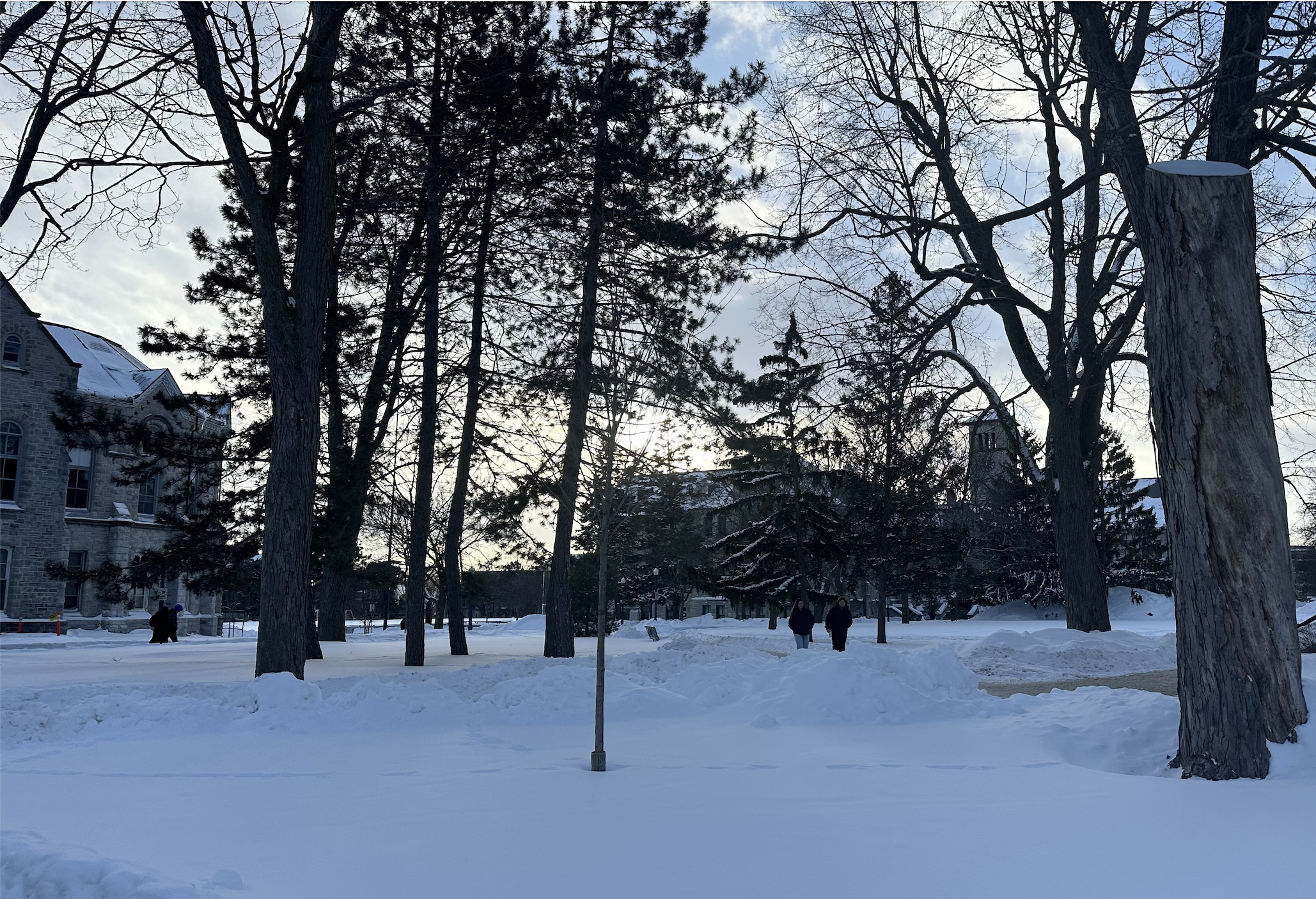
On Jan. 26, Queen’s shutdown all on-campus academic activities before noon, citing severe weather. This came after a significant snowstorm that spanned from Sunday to Monday afternoon, which the Director of the City of Kingston’s Public Works Department, Karen Santucci, estimates led to as much as 40 cm of snow in some parts of the region.
The Journal spoke with a Senior Meteorologist from The Weather Network, Doug Gillham, to get a better sense of what’s causing the snow levels and low temperatures seen in recent weeks. He explained colder winters are associated with a global pattern known as La Niña, which is a cooling of ocean water temperatures in the tropical Pacific.
“That was one of the keys to our winter forecast, which was for a colder than normal winter and above normal snowfall,” Gillham said. “So, the pattern that we’re seeing is really what we expected given the global pattern.”
Gillham further explained that with La Niña, there tends to be a wavy jet stream pattern that allows cold Arctic air to plunge South. This year, there has also been a blocking pattern in the Arctic where the polar vortex is being frequently disrupted, which has further allowed Arctic air to move South.
“So, all the key pattern drivers are in place to send cold air into Central and Eastern Canada,” he said.
While Gillham admitted that this January has been colder than normal, he was careful to recognize that it’s not without precedent.
“Looking back specifically at Kingston, January 2022 was actually colder than what we’ve seen this year,” he said. “That’s actually not that far back. January 2018 was colder. 2014 was colder.”
Similarly, while he admitted this past week’s snowstorm was “massive,” Gillham clarified that part of why there was so much snow was, given the extreme cold, the flakes were much fluffier than normal, therefore lowering the snow’s density.
“There’s a lot more airspace in the flakes, and so it allows it to pile up more quickly,” he said. “But then it settles and compacts over time. So even though it’s not melting each day, there’s a little bit less, and it looks like there’s a little bit less, because it’s compressing.”
While Gillham explained there may be some thaws before the Spring, he said we should ultimately be expecting colder than normal temperatures for February, and a colder than normal pattern continuing into March as well.
“It’s not looking like an early spring,” he said. “The good news is that normals are steadily climbing now. We’re at the coldest time of the year, so we’re on the upswing.”
Looking forward, while Gillham explained that global warming may cause milder winters to become more likely and more frequent, there’ll always be variability from year to year, and we can still get “classic Canadian cold winters” within this pattern.
“50 years ago, this winter probably would’ve been slightly colder, but it doesn’t mean we can’t still have a cold winter,” he said.
Tags
City of Kingston’s Public Works Department, The Weather Network, Weather, winter
All final editorial decisions are made by the Editor(s) in Chief and/or the Managing Editor. Authors should not be contacted, targeted, or harassed under any circumstances. If you have any grievances with this article, please direct your comments to journal_editors@ams.queensu.ca.